
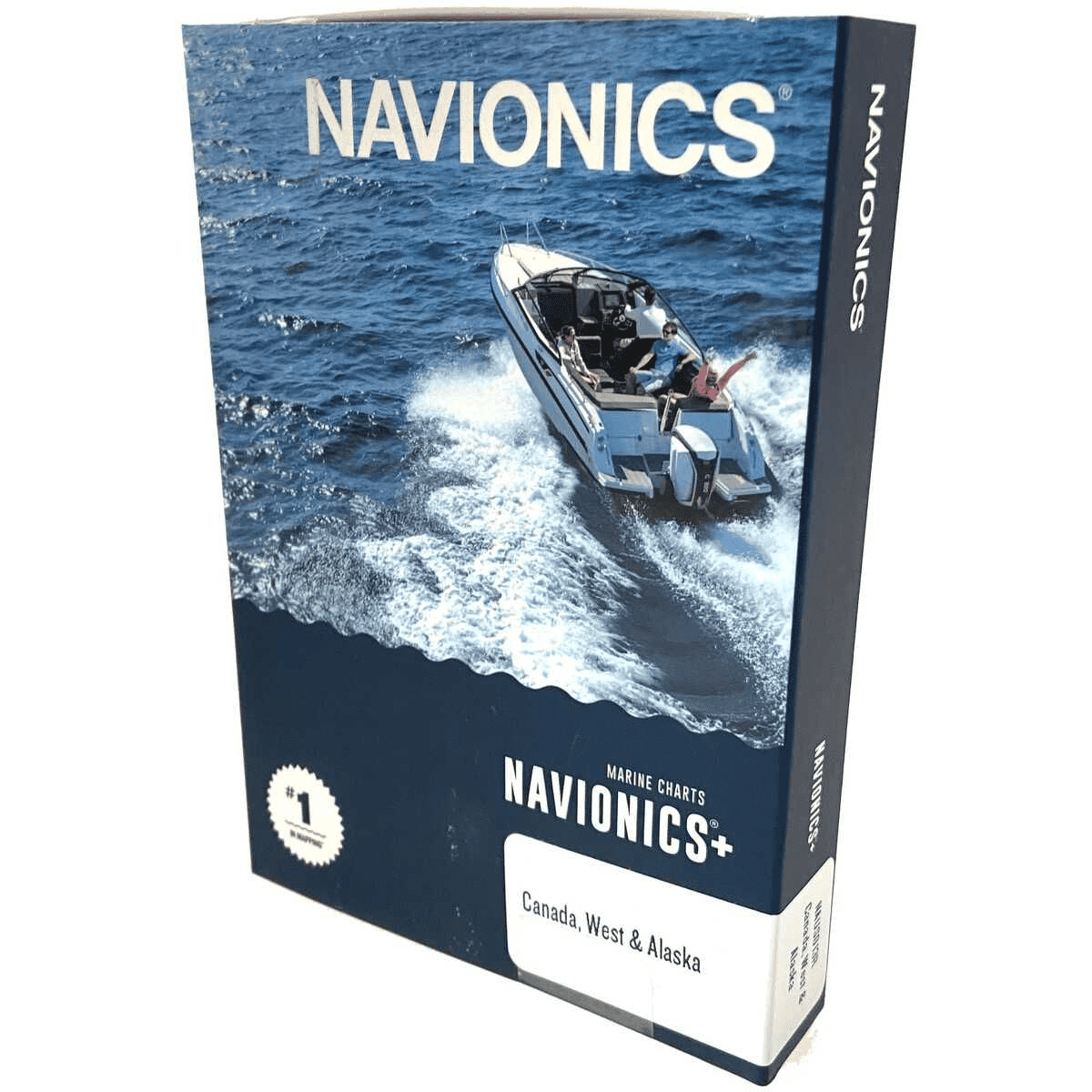
Navionics®+ microSD™/SD™ Lakes, Rivers and Coastal Marine Charts – Canada, West & Alaska
$299.99
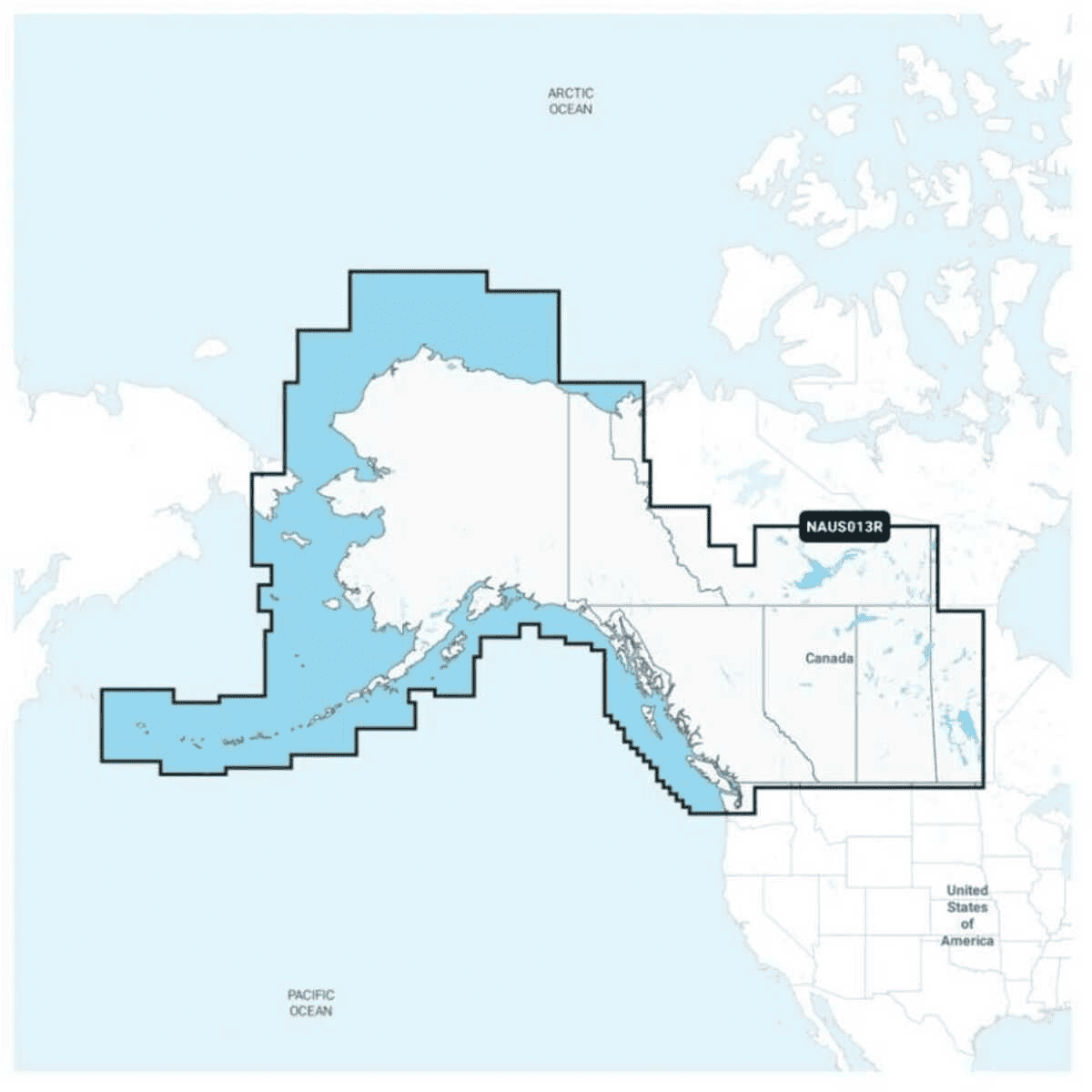
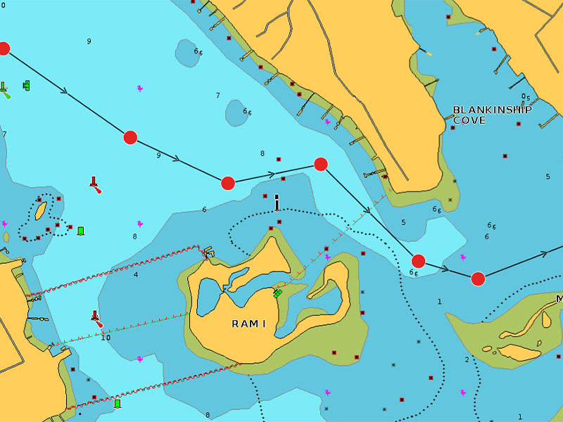
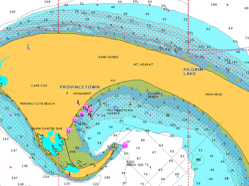
Detailed coverage of coastal and inland waterways of western Canada and Alaska. Coverage includes Vancouver Island, Puget Sound and the Aleutian Islands.
Integrated mapping for a wide range of chartplotters.A comprehensive, all-in-one solution, Navionics+ charts and maps combine clear, reliable coastal/inland content with advanced guidance features and compatibility with a wide range of chartplotter brands.
Includes charts, maps and any content downloaded during the one-year subscription period. An active subscription is required to continue accessing new content such as daily updates after the included one-year ends.
7 in stock
7 in stock
Shipping & Pickup
- In-store pickup — FREE
- Orders over $150 — FREE shipping*
- Orders under $150 — $20 flat rate
- Fishing rods — $40 flat rate
Oversized items require a shipping quote. *Fishing rods and oversized items are excluded from free shipping. Shipping & pickup details
Additional Information
Additional Information:
Features:
- Navigate with our best offshore and inland lake coverage for your compatible chartplotter.
- See it your way. Customize your view with various chart layers and overlay combinations.
- With your included 1-year subscription, access daily updates via the Navionics® chart installer software.
- Advanced route guidance technology lets you navigate with suggested dock-to-dock routings.
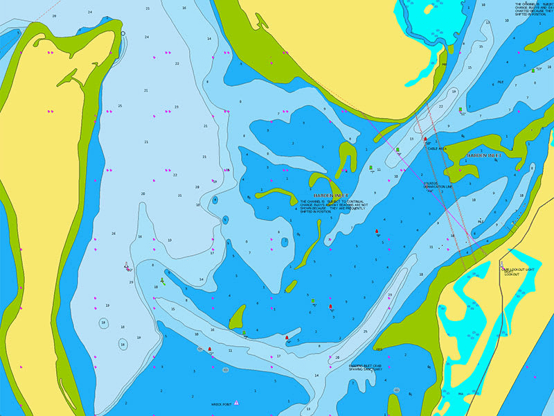
- Selectable map options let you highlight shallow areas, adjust contour density or select a fishing range.
- Renewing your subscription lets you continue accessing daily updates plus new content downloads.
- All-in-One Map Solution: Access detail-rich mapping of coastal features, lakes, rivers and more on a wide range of compatible chartplotters. Integrated coastal and inland lake content offers coverage for boaters worldwide.
- Charts are constantly being enhanced with new and amended content — thousands of updates are made every day. The included 1-year subscription gives you access to daily chart updates via the navionics chart installer software.
- Dock-to-Dock Route Guidance: Advanced route guidance technology2 uses your boat settings, along with chart data and frequently traveled routes, to calculate a suggested path to follow from dock to dock.
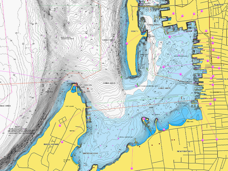
- For improved fishing and navigation, up to 1′ contours provide a clear depiction of bottom structure for fishing charts as well as enhanced detail in swamps, canals, harbors, marinas and more.
- Advanced Map Options: Change the way you view navionics charts to focus on the details that matter most to you. Highlight shallow areas, adjust contour density, or select a fishing range.
- Download community edits for useful local knowledge added by users of the navionics boating app, and view the data on your compatible chartplotter.
- Plotter Sync: Transfer routes and markers, update charts and more between your plotter card and mobile app — wirelessly. You can even activate or renew your cartography subscription and upload sonar logs.
- Sonarchart™ Live Mapping: Create your own maps on the fly. Watch new 1’ hd bathymetry maps develop in real time as your boat moves through the water.
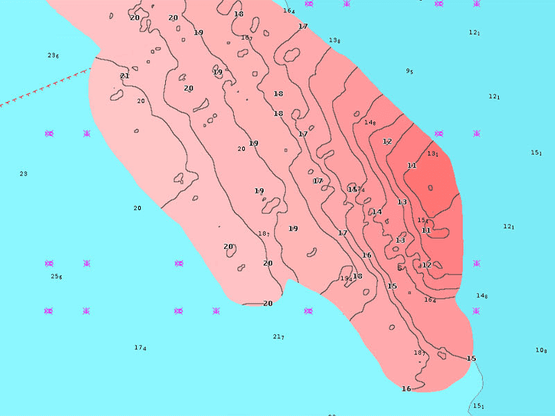
- High-Resolution Relief Shading: This downloadable shading feature5 combines color and shadow to give you an easy-to-interpret, clearer view of bottom structure than contour lines alone.
- Sonar Imagery: The downloadable sonar imagery feature5 reveals bottom hardness clearly and in contrasting color, highlighting both subtle and dramatic transition areas on select U.S. lakes.
- High-Resolution Satellite Imagery: Downloadable high-resolution satellite imagery5 provides a realistic view of your surroundings — ideal for entering unfamiliar harbors or ports.
- Aerial Photography: Crystal-clear aerial and surface photos of ports, marinas, bridges, docks, boat ramps, dams and navigational landmarks provide a better sense of your surroundings above the waterline.
- 3D View: Unique 3D views provide additional perspective, both above and below the water’s surface, to highlight key features and aid in situational awareness.
Product Information:
Additional information
| Brand | |
|---|---|
| Size | microSD™ / SD™ Card |
| Style | Navionics®+ |
Related Products

9 in stock
9 in stock
538794
$54.99


2 in stock
2 in stock
436869
$539.99

4 in stock
4 in stock
312852
$79.99