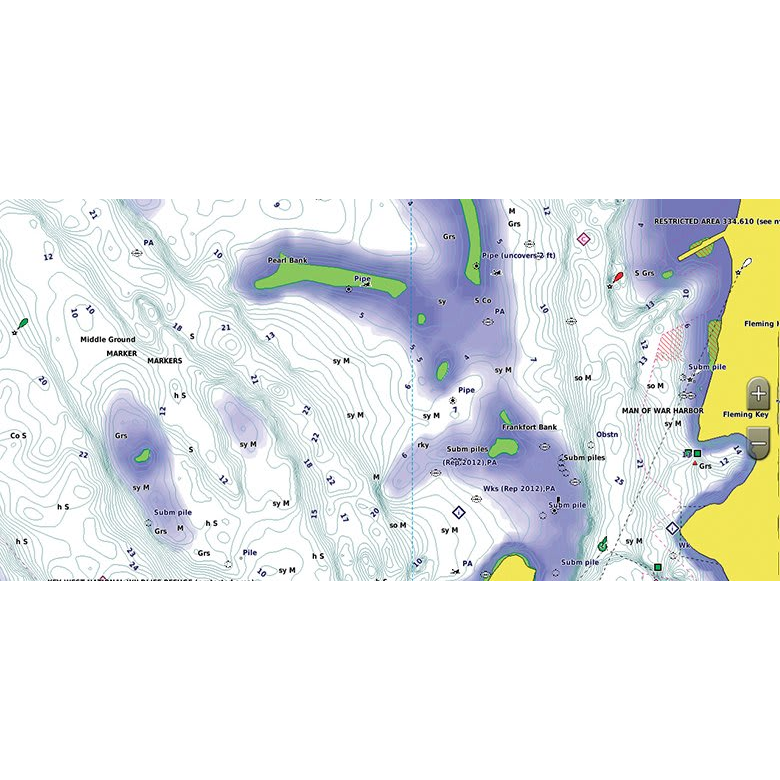
Experience unparalleled coverage and brilliant detail when you’re on the water with charts that feature integrated Navionics® data, Auto Guidance technology and more.
1 in stock
Come into our store or call us if you are interested in purchasing this item.
Shipping & Pickup
In-store pickup — FREE
Orders over $150 — FREE shipping*
Orders under $150 — $20 flat rate
Fishing rods — $40 flat rate
Oversized items require a shipping quote. *Fishing rods and oversized items are excluded from free shipping. Shipping & pickup details
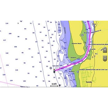
Provides exceptional coverage, clarity and detail with coastal charts that feature integrated Garmin and Navionics® data
Auto Guidance technology calculates a route using your desired depth and overhead clearance and provides a suggested path to follow
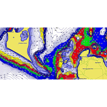
Includes depth range shading for up to 10 depth ranges, enabling you to view your target depth at a glance
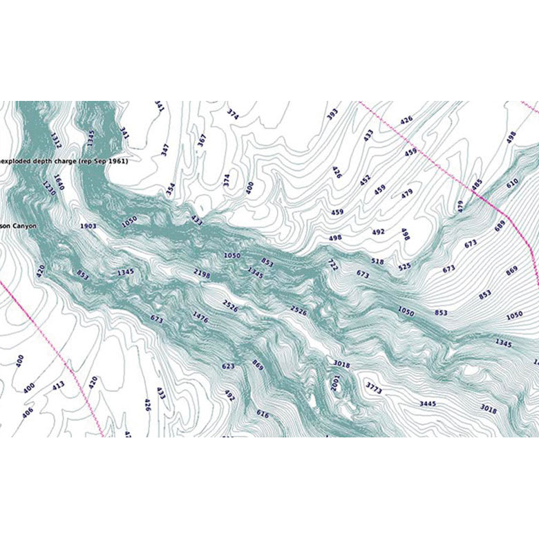
Up to 1’ contours provide a more accurate depiction of the bottom structure for improved fishing charts and navigation in swamps, canals and marinas
Auto Guidance Technology: Whether you are fishing or cruising, select a spot, and get a route showing you the general path and nearby obstructions at a safe depth.
Depth Range Shading: This feature displays high-resolution depth range shading for up to 10 depth ranges so you can view your designated target depth.
Detailed Contours: BlueChart g3 charts feature 1’ contours that provide a more accurate depiction of bottom structure for improved fishing charts and enhanced detail in swamps, canals and port plans.
Shallow Water Shading: To aid in navigation, Shallow Water Shading allows map shading at a user-defined depth to give a clear picture of shallow waters.
Specifications:
Integrated Garmin and Navionics content: Yes
Auto Guidance technology: Yes
Depth range shading: Yes
Up to 1′ contours: Yes
Shallow water shading: Yes
Raster cartography: Yes
High-resolution relief shading: No
Unique 3-D views: No
High-resolution satellite imagery: No
Aerial photos: No
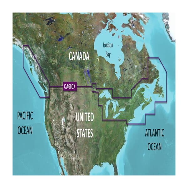
Coverage: Provides detailed coverage of the east coast of North America from Nain, NL to Raritan Bay, NY featuring Newfoundland, Île d’Anticosti, New York Harbor and full U.S. and Canadian coverage of the Great Lakes in their entirety. The west coast of North America is covered from Glacier Bay, AK to Aberdeen, WA featuring British Columbia, Vancouver, the Queen Charlotte Islands and Puget Sound.
Download Requirements: The file size of this download and space required on device or microSD™/SD™ card is 481.38 MB. If this download does not fit on your device, data may be saved on a microSD/SD card (Recycled microSD cards may be used to program map data).
Call us at: (705) 327-3474 to inquire about this product
Or send us a message
Online Shopping Is Here
3 days only:
10% off regular-price items - online only
Wednesday, Oct 28 to Friday, Oct 30
You can now shop Trombly’s Tackle Box online. Choose free in-store pickup or flat-rate shipping at checkout.
In-store pickup — FREE
Orders over $150 — FREE shipping*
Orders under $150 — $20 flat rate
Fishing Rods — $40 flat rate
Your card is authorized at checkout and charged when your order is ready.
*Fishing rods and oversized items are excluded from free shipping. Oversized items, remote addresses and orders outside Canada may require additional shipping fees. We’ll contact you before charging any additional amount.