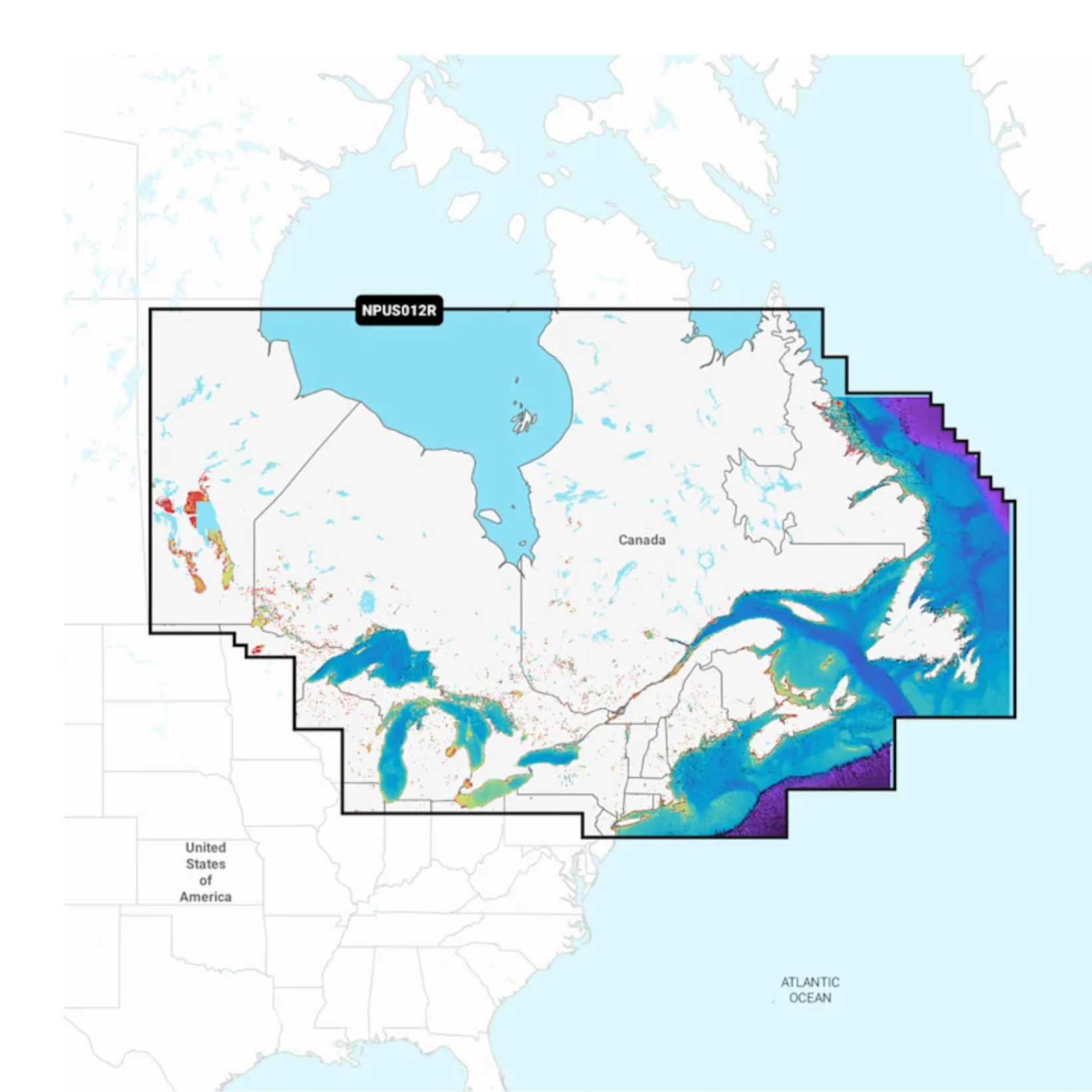
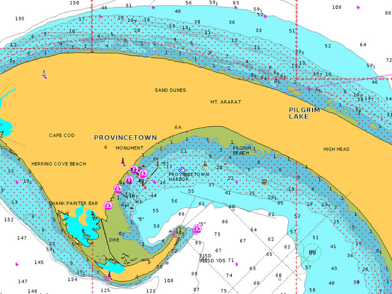
Detailed coverage of coastal and inland waterways of Eastern Canada (except YT and NU). Coverage includes all the Great Lakes, the St Lawrence River, The Maritime Provinces and the Grand Banks.
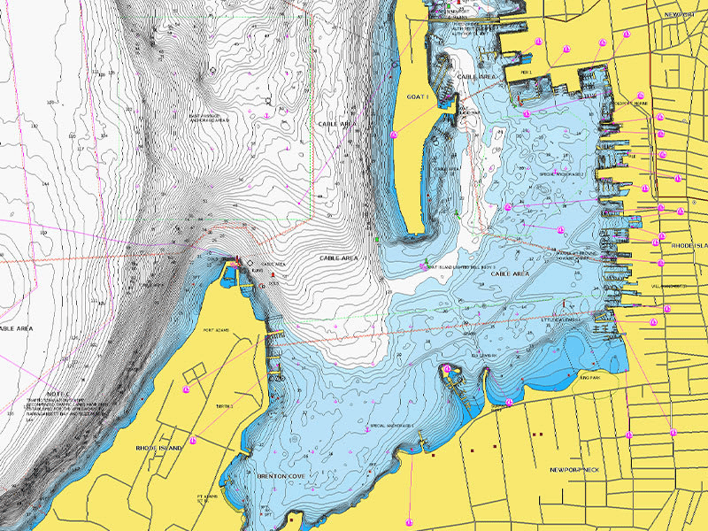
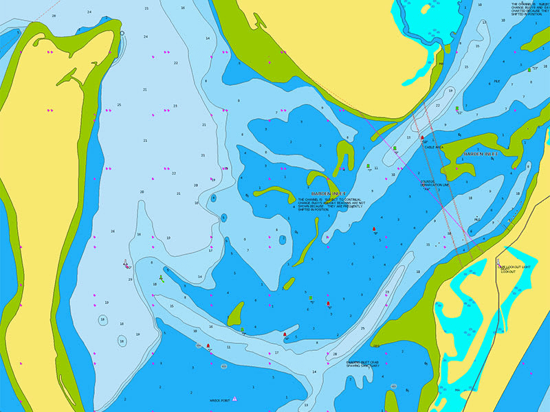
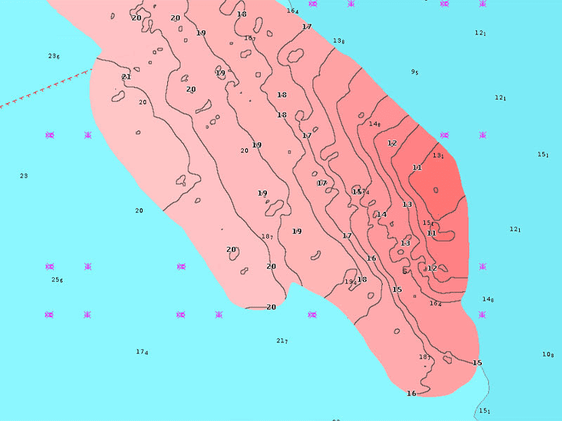
Navionics Platinum+ premium cartography offers everything included in Navionics+ with additional chart features such as high-resolution relief shading, satellite imagery, 3D views and more.
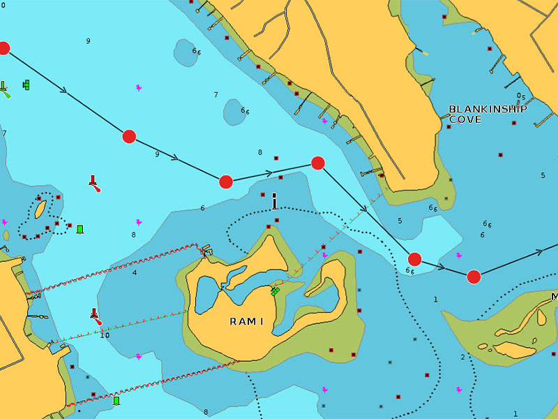
Integrated mapping for a wide range of chartplotters.A comprehensive, all-in-one solution, Navionics+ charts and maps combine clear, reliable coastal/inland content with advanced guidance features and compatibility with a wide range of chartplotter brands.
Includes charts, maps and any content downloaded during the one-year subscription period. An active subscription is required to continue accessing new content such as daily updates after the included one-year ends.